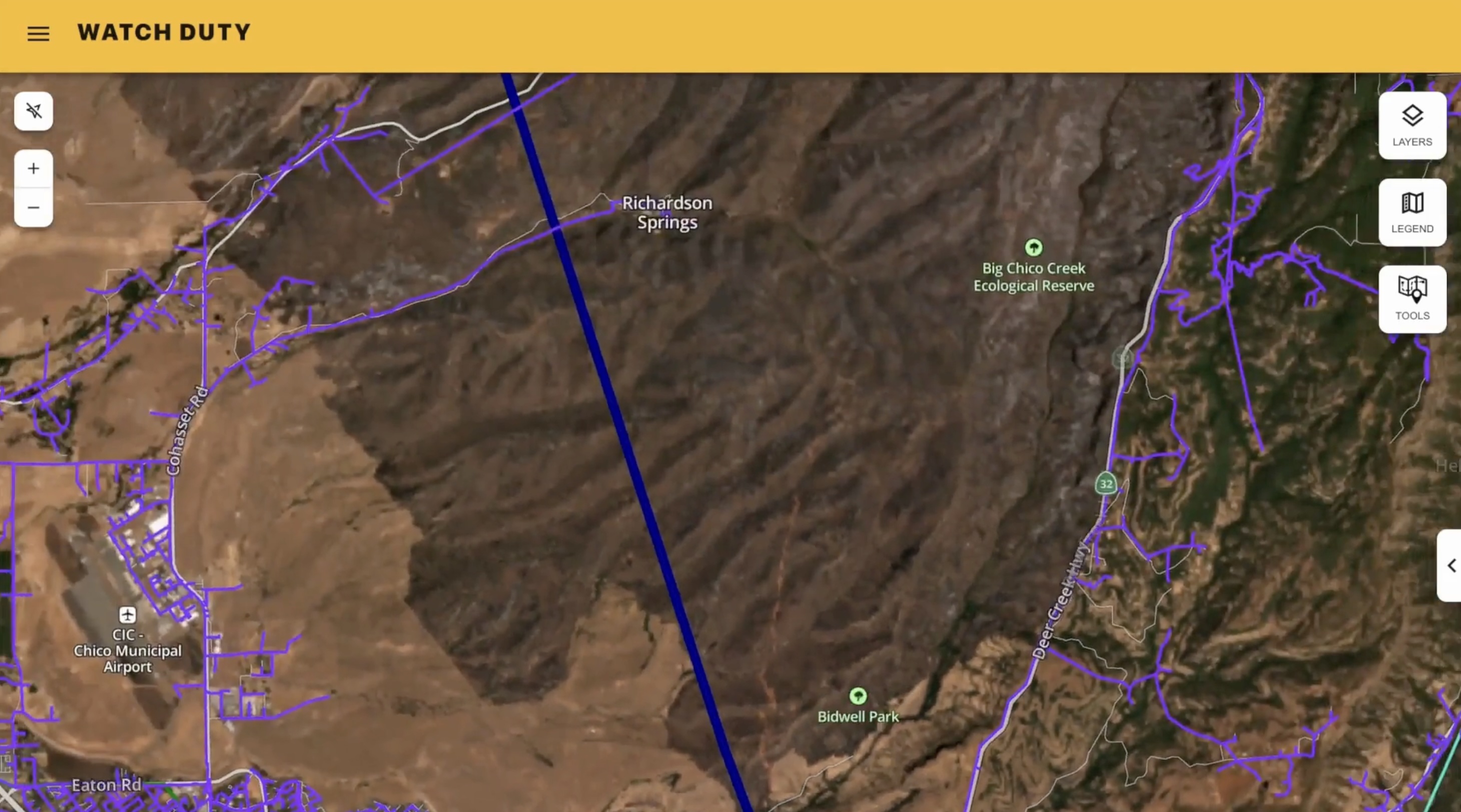
Watch Duty strengthens early wildfire detection with enhanced satellite feeds
The NOAA system for improved heat detection helped Watch Duty warn a Nebraska county just 13 minutes after the first detection of the state's largest recorded wildfire.
Today, Watch Duty rolled out new features with enhanced satellite layers that will speed detection of new wildfires, especially in rural areas that lack wildfire cameras or other tools. The rollout arrives as much of the country enters the height of the 2026 fire season, already on pace to set records for the number of fire incidents in the last ten years
Wildfires have expanded substantially beyond traditional ‘fire regions’ – every U.S. region experienced an increase in the number of fires per year in the 2000s. That means more and more fires don’t benefit from the full range of detection tools you find in communities used to managing these risks each year.
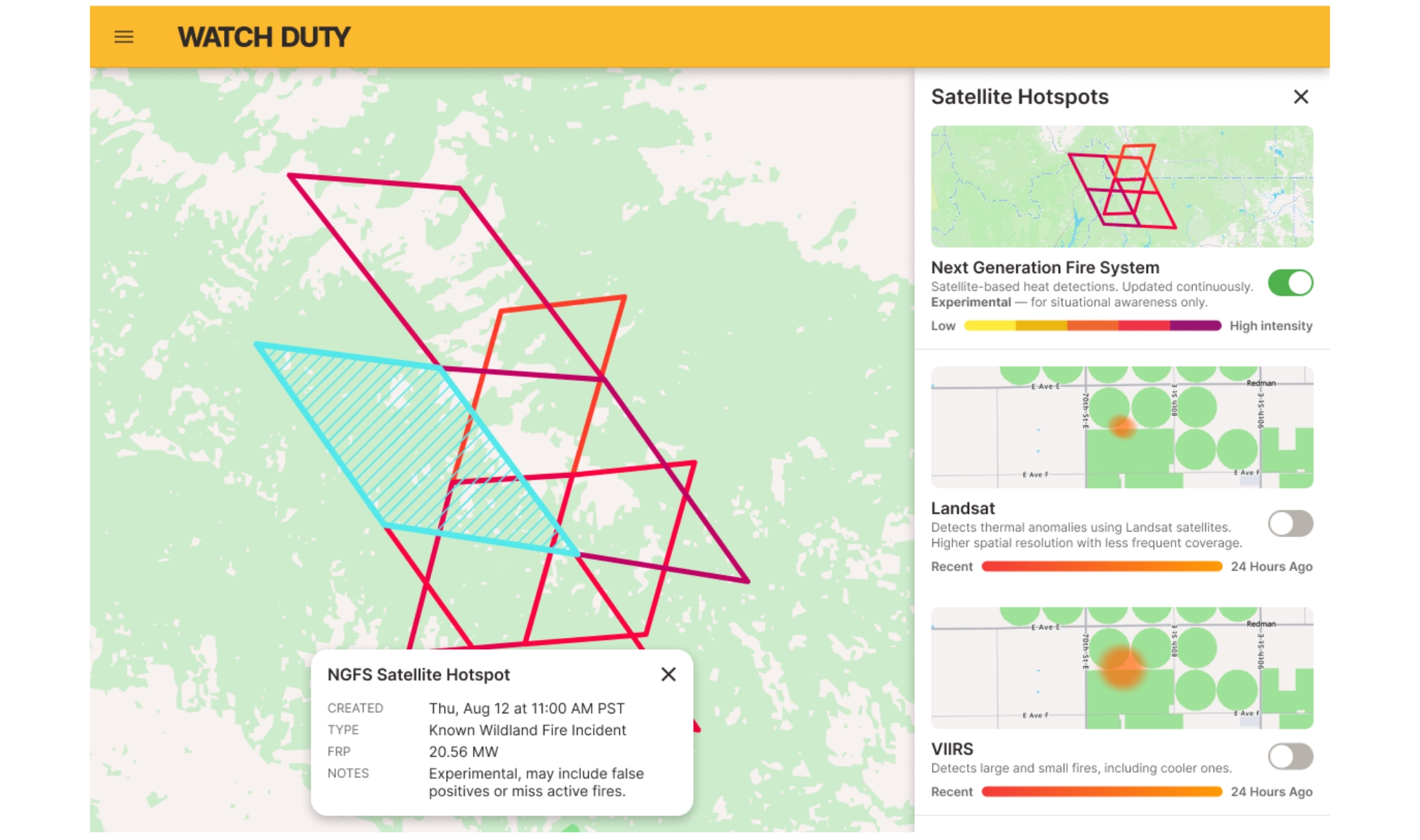
Watch Duty now integrates heat detections from the Next Generation Fire System (NGFS), an advanced satellite tool developed by NOAA with the Cooperative Institute for Meteorological Satellite Studies at the University of Wisconsin-Madison. Watch Duty users will have access to rapid visibility of potential wildfire ignitions. NGFS generates a fresh image of the entire contiguous U.S. every five minutes, has detected fires as small as a quarter acre, and is expected to expand from experimental use to full operations this year.
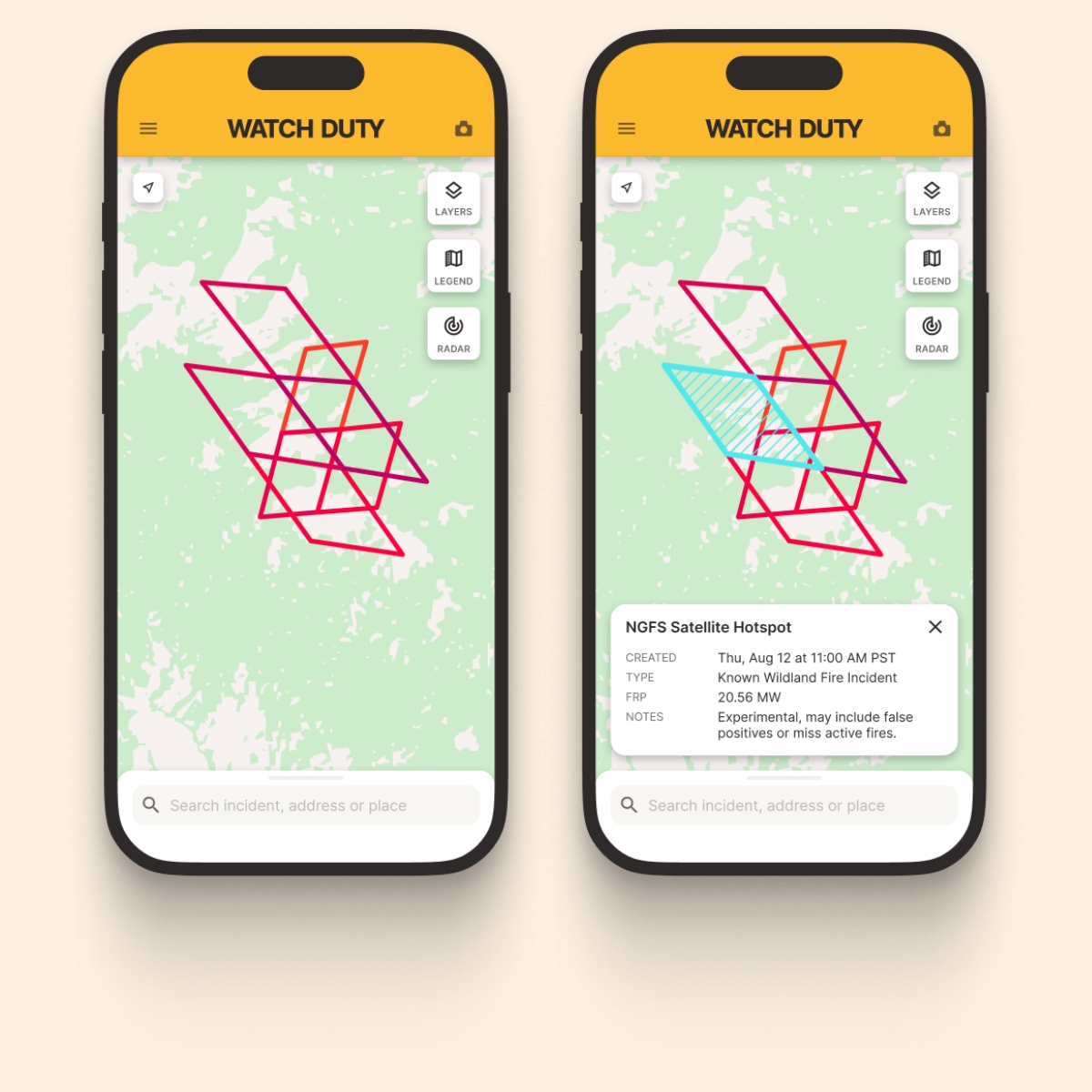
This technology has already made a difference in Watch Duty’s coverage and reporting on fire incidents this year.
"A lot of the places that need warning the most are the hardest to keep an eye on, such as rural areas with no cameras and no one nearby to call in the ignition,” said Liam Winstead, the Watch Duty Operational Intelligence & Mapping Manager, who led reporting on large-scale Nebraska wildfires this spring. “A fire like Morrill doesn't stay put; it runs with the wind toward nearby towns. NGFS gives us the ability to identify that ignition earlier. During the Morrill Fire, that meant reaching the community when there was still time to act."
In the case of the Morrill Fire, Watch Duty reporting alerted the county only 13 minutes after the first detection.
Watch Duty has also added additional satellite tools and improvements. The new Landsat layer, for example, offers strong resolution that allows extremely precise mapping of hotspots, giving a specific indication of the movement of the fire. NGFS and Landsat layers build on existing Watch Duty satellite tools, VIIRS and MODIS, which have been steadily improved in the app using NASA’s ultra-real-time direct-readout feed.
While these features offer substantial opportunities for improved early detection, data can require additional context and verification. Gas flares, industrial heat sources, and sun glint, for example, can produce false positives. During emergencies, Watch Duty reporters leverage all available sources to provide users real-time information, put into context.
"The people most exposed to wildfire have long had to hunt for and try to vet information themselves. We want to make these satellite layers accessible to everyone, so they can see the same detections our team does,” said John Mills, cofounder and CEO of Watch Duty. “The satellite finds the heat; our reporters confirm what's real and what it means. Giving people both the raw signal and the human translation is how we empower people to make decisions."
Watch Duty users will be able to access all new and updated satellite heat detection features in the Layers menu of their free Watch Duty application, offering the most complete picture of heat detection from ignition through recovery.


.jpg)
.png)