Professional Solutions
Enterprise-Grade
Disaster Intelligence
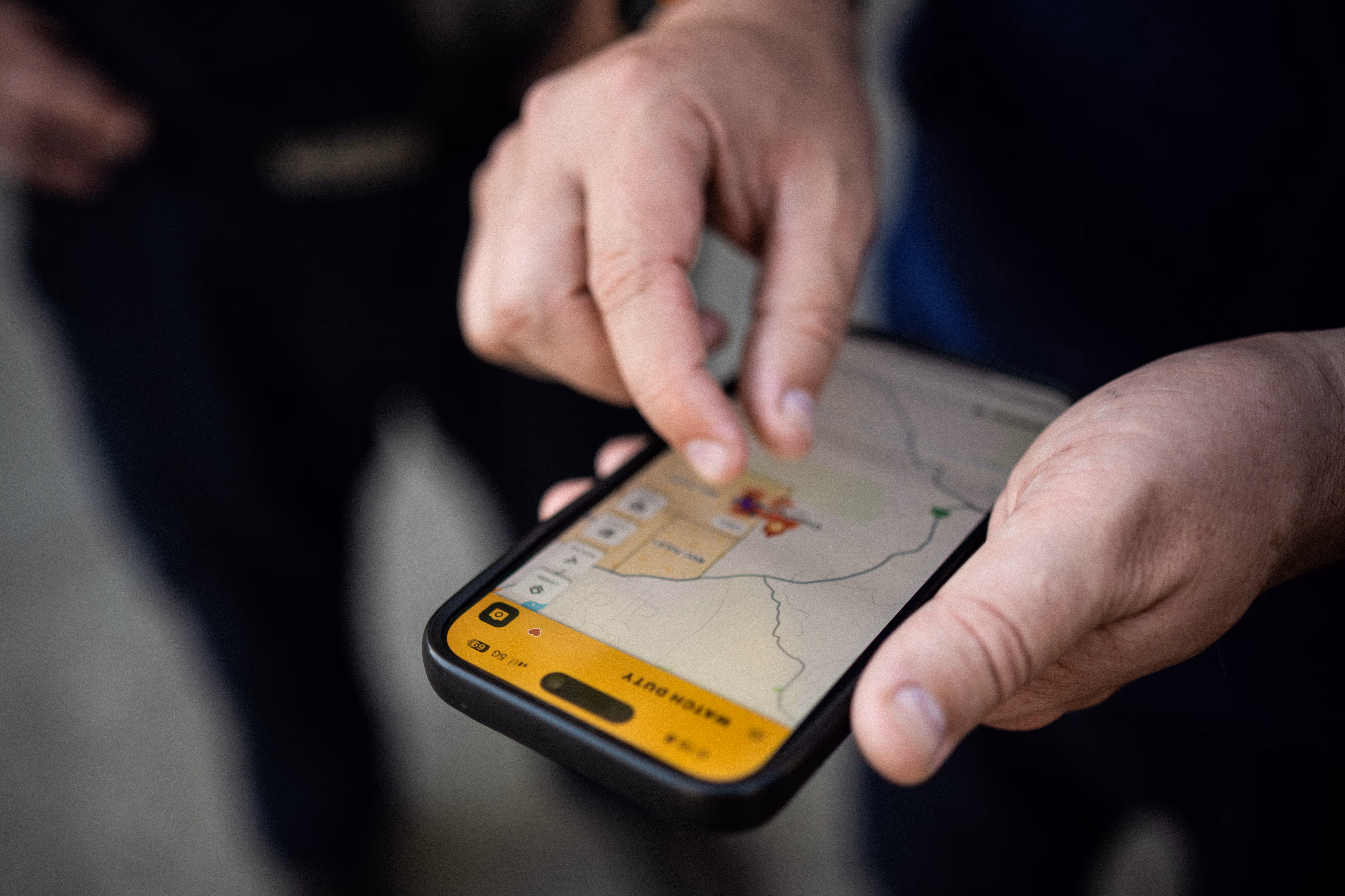
Built on the most widely adopted wildfire intelligence platform in the United States, Watch Duty delivers operational monitoring across wildfire and flood events with human-verified, GIS-enabled intelligence that helps organizations assess hazard exposure and coordinate response during active incidents.
Watch Duty enterprise tools are designed for operational use across control rooms, emergency operations centers, and field leadership teams.

It’s a no-brainer for utilities to adopt Watch Duty. It provides curated, real-time information, enabling better coordination and faster action.”
During wildfire and flood events, operational teams face consistent constraints:
Watch Duty consolidates early hazard signals, verifies them through trained human review, and presents them within a shared operational environment.
The result is faster orientation, clearer coordination, and reduced system switching during active incidents.
Built on a Proven Wildfire Intelligence System
Watch Duty was built to provide reliable wildfire intelligence at operational scale.
The same signal detection and human verification framework supports both wildfire and flood monitoring, without requiring new systems and workflows.
All incident information is reviewed by trained staff reporters following a strict code of conduct, reducing false positives and removing speculation so teams can act with confidence.
Designed for Enterprise Environments
Watch Duty supports organization-wide operational use with appropriate controls and support.
Watch Duty operates as an operational intelligence layer, complementing existing GIS platforms, incident command systems, and internal dashboards rather than replacing them.
The platform supports:
Industry Applications
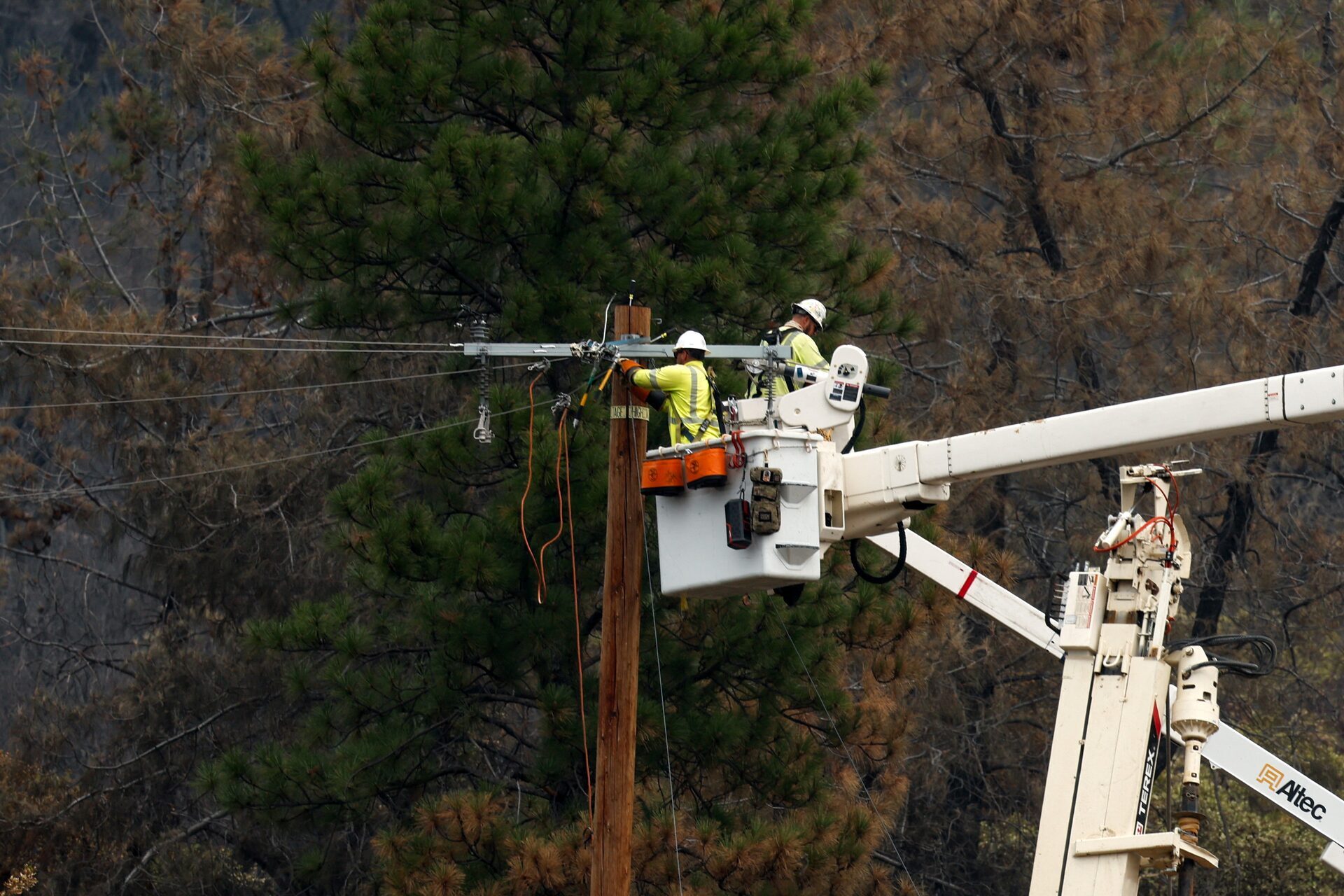
Monitor wildfire and flood exposure across transmission, distribution, and generation assets. Support de-energization decisions, field coordination, and cross-functional visibility during fast-moving events.
Consolidate evolving hazard intelligence within a shared operational view to support EOC coordination, public communication planning, and interagency alignment.
Maintain visibility across dispersed infrastructure during wildfire and flood incidents. Reduce blind spots across regions and operational teams.
Monitor real-time hazard exposure across portfolios and insured assets. Support underwriting, claims response, and risk management during active events.
Speak With Our Team
Enterprise tools are tailored to organizational structure, hazard exposure, and operational requirements.
If you are evaluating Watch Duty for wildfire or flood situational awareness within your organization, we welcome the opportunity to discuss fit and deployment options.