Public Safety
Outdated Information Can Delay Live-Saving Decisions
Real-time information specific to your agency is not a nicety, it's a necessity.
Overlay your geospatial information directly onto existing Watch Duty layers for improved incident coordination.


"Watch Duty is extremely intuitive. You can see the evacuation zones, or if there are power outtages and why those were caused...It's invaluable."
.svg)

A common operating picture, accessible at your fingertips.
We know emergency personnel routinely have to manage disparate or siloed information: dispatch communications, incident status updates, public alerts, evacuation statuses, progression modelling, weather reports, satellite imagery, aerial radio communications, and other government data. Manually reconciling these puts everyone at a disadvantage.
1-to-4-hour info lags from bureaucratic reporting workflows can turn deadly. We bypass that blockage to deliver verified incident updates, often hours before public distribution.
Trusted by public safety leadership across all 50 states.


Integrated with Tablet Command
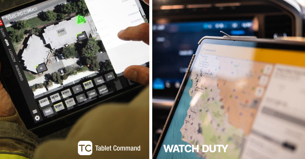
If you’re an agency using Tablet Command, you can quickly send updates directly from within the Tablet Command platform to the Watch Duty operations team. When an agency chooses to do so, basic incident information can be shared early in the response, giving Watch Duty reporters a critical head start in notifying the public and providing situational awareness during rapidly evolving events.
Make every second count when emergencies escalate
See how Watch Duty Enterprise gives emergency teams the real-time intelligence they need to understand developing threats and respond with confidence.