New satellite and topographic maps and Texas emergency deployment
Improved Mapping
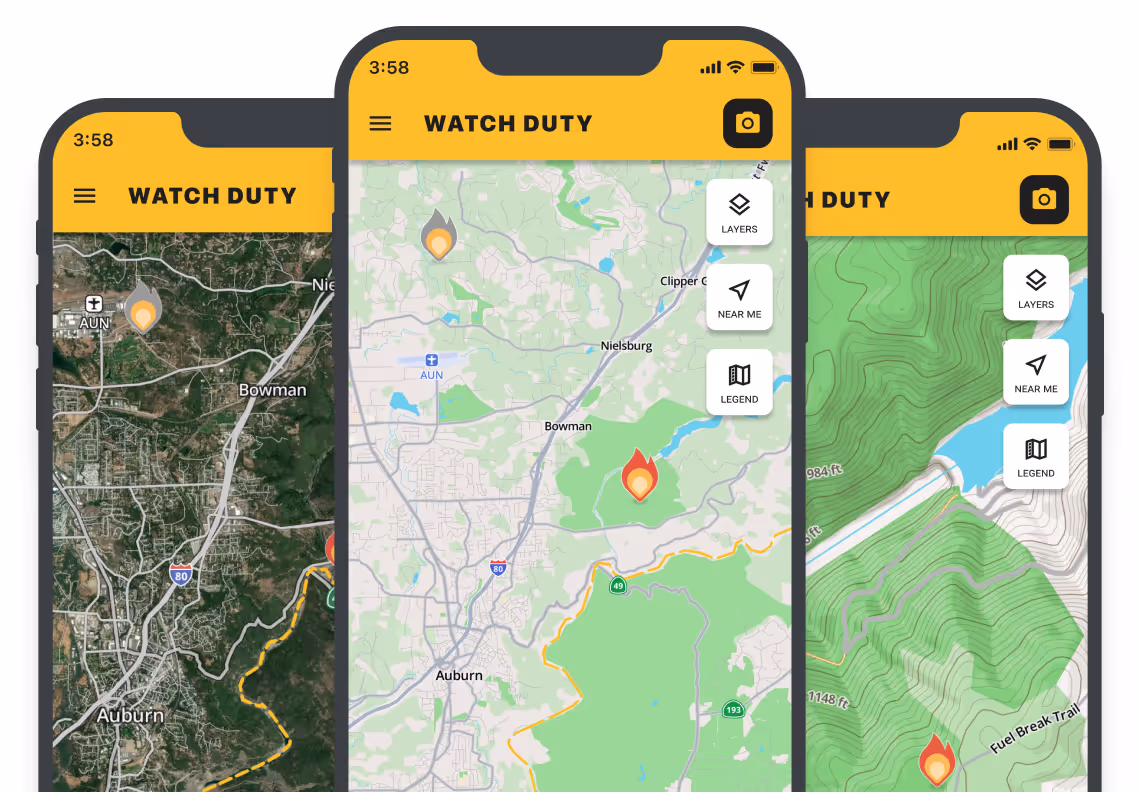
Our updated maps have high-contrast colors for easier navigation, larger street labels for better legibility, and proper highway signs to help you find life-saving information even quicker. We’ve also upgraded our satellite map layer to include higher resolution and more up-to-date imagery for better situational awareness. For the first responders out here, we threw in a new topographic layer to make our tool even more powerful in wildland areas.
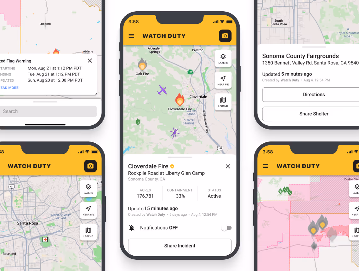
New enhancements to the interface have led to better usability and fewer clicks when navigating between incidents, prescribed burns, and shelters. You’ll no longer need to use a ‘back arrow’ to go back to the main map – just scroll away and click on another incident. In addition, we have made sweeping performance improvements that allow the app to run faster than ever before.
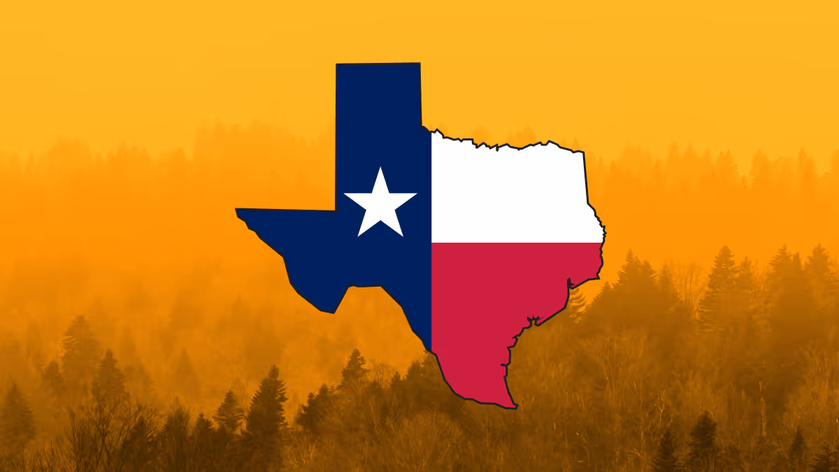
Now Available in Texas
In breaking news, we emergency deployed Watch Duty in Texas ahead of schedule due to the record-breaking wildfires in the Panhandle. As wind-driven fires blew out of control, our team decided that we needed to be there to help. Within the hour we were live and relaying critical information to residents and first responders alike.
The quick and decisive actions of our volunteers have garnered the attention of not only the community, but the Texas Department of Emergency Management (TDEM) and the Texas Forest Service whom we are now working closely with. It is our greatest pleasure to deepen our relationships with those who serve the public.